Exploring the Benefits of Drone Mapping & Surveying
The adoption of drone technology across many industries has resulted in the ability to capture aerial data with higher quality, faster speed, and more consistent results. Drones are now used professionally for tasks such as inspections, mapping, remote monitoring, and much more.
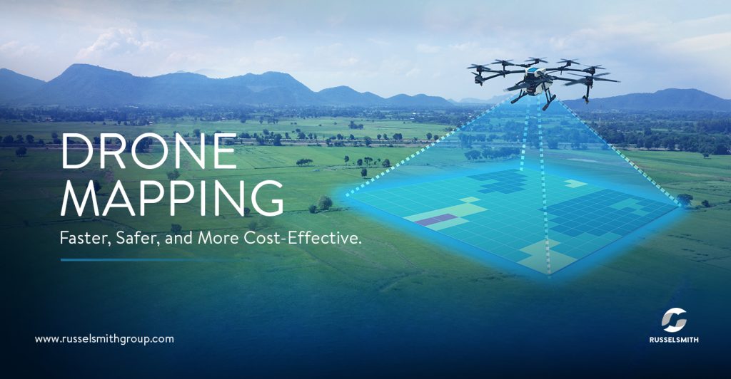
Aerial surveying, which is also referred to as ‘drone mapping’, is one of the most exciting applications of drone technology. It involves the use of drones or unmanned aerial vehicles (UAVs) equipped with high-resolution cameras to collect aerial data, and then processing that data to produce a digital map at a given scale.
How Drone Mapping Works
Drone mapping works by taking several aerial photographs of an area of interest from different angles with a drone, following a predetermined flight path. The photographs are then ‘stitched’ together digitally with specialized mapping software to make a larger and more accurate composite image.
The process of creating maps from photographs is referred to as photogrammetry, and the single photo that is formed by stitching multiple aerial photos together is called an orthomosaic. The photos that are stitched together to produce the orthomosaic are called orthophotos, and they are usually geometrically corrected (orthorectified) as part of image processing to remove distortion. The objects and features in an orthomosaic are scaled and can be georeferenced, meaning that it is possible to make measurements associated with location, distance, and area.
It is also possible to generate other types of maps or output from drone surveys, such as Digital Terrain Models and 3D models, among others.
Benefits of Drone Mapping
Here are a few benefits of drone mapping:
- Speed: Unlike planes and satellites, drones can be deployed easily and can cover large areas quickly. They can also be pre-programmed with flight coordinates to improve efficiency, making them ideal for mapping tasks that require a fast turnaround time.
- Increased Safety: Drones can be used for surveying and mapping hazardous or treacherous terrains that are difficult to access. The use of drones presents fewer risks than having boots on the ground.
- High Accuracy: Drones can provide immediate and highly accurate data with a level of detail that would previously have required very specialized expertise and larger equipment or teams. They can also fly lower than manned aircraft, allowing them to produce output with centimeter-level accuracy in multiple formats.
- Cost-Effectiveness: Aerial surveys are mostly less expensive because they require less personnel and less equipment.
- Enables Better Planning and Decision-Making: 3D maps, which are essentially digital twins or virtual representations of environments, can be used as a better reference for planning and development.
RusselSmith’s drone solutions reduce the complexity of surveys and data collection, allowing you to achieve your objectives safely and cost-effectively. Our solutions offer four distinct advantages: Increased Safety, Higher Efficiency, Reliability, and Cost Savings.
To learn more about our drone services, visit https://russelsmithgroup.com/uav-solutions/.