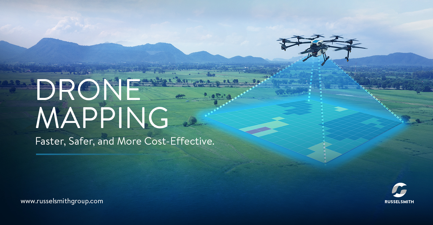
Unmanned aerial vehicles (also referred to as drones) have been used in a lot of applications lately, such as photography, movie-making, aerial surveys, and even in warfare, where they have shown distinct advantages in reconnaissance and attack. However, their commercial use in the energy sector is just getting under way, and is rapidly gaining popularity due to their versatility and wide range of applications.
The world’s biggest oil and gas companies are turning to unmanned aerial vehicles (UAVs) rather than people, for inspecting and monitoring offshore rigs, pipelines,storage tanks, flare stacks and other infrastructure.
“UAVs are safer and more cost-effective than a lot of inspection techniques that are presently available. They are ideal for inspections in difficult-to-access areas or areas which are unsafe for workers.” says Kayode Adeleke, Senior Executive Vice President of RusselSmith Group, which is also a provider of aerial inspection services.

